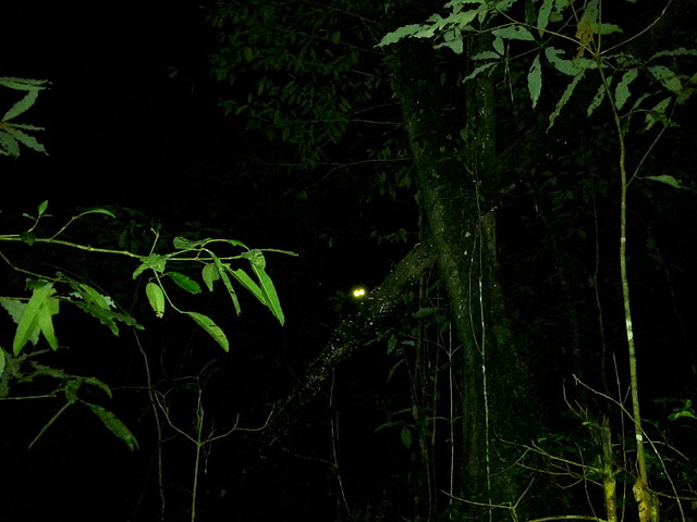
By 4AM I had already left the “basecamp village” Senaru and was walking through the rainforest. Strong smells and strange noises surrounded me as I made my way up a seemingly never ending mountain in the dark.
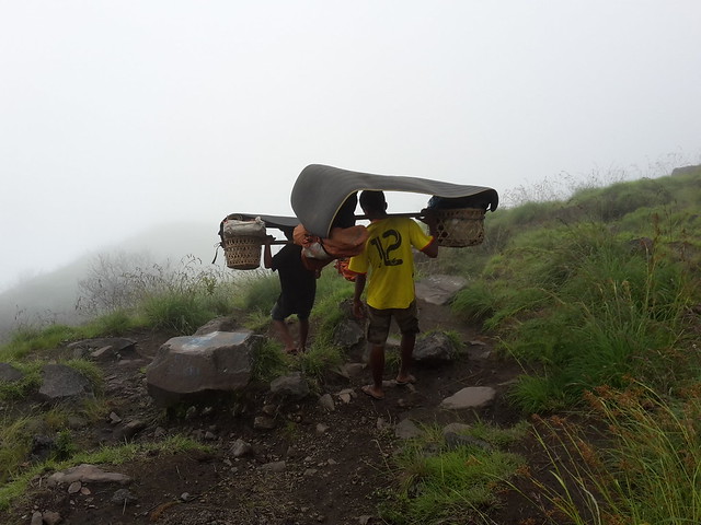
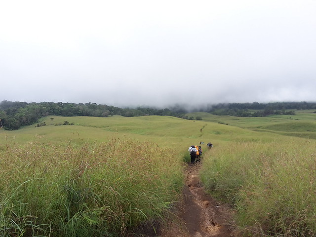
It gradually got lighter, the sun rose, and I was still in the forest. I got out of the forest but the path still continued uphill, through high grass and past single trees. I met hikers with their guides and porters on their way down – they had stayed the night on the crater rim that I was about to scale.
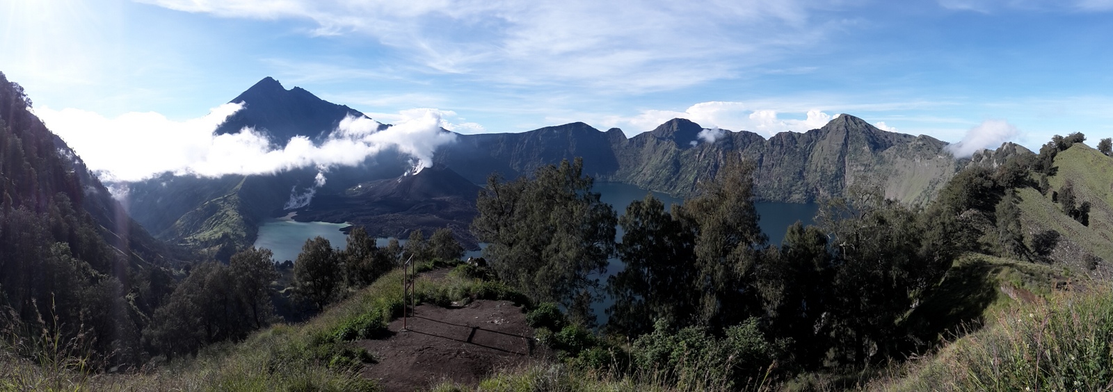
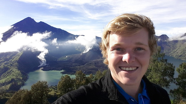
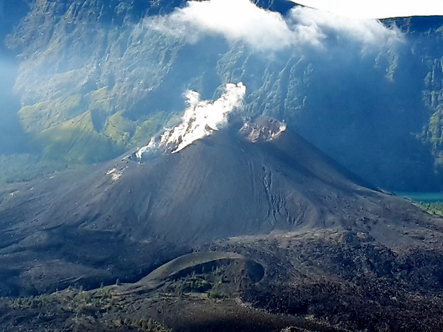
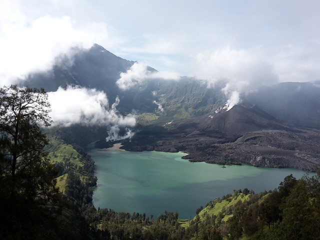
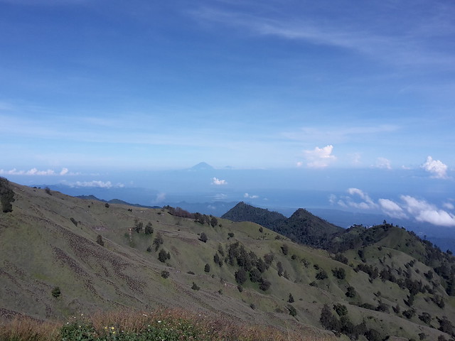
And then, finally after some incredible effort, I too got there. I stood 2000 altitude meters above my starting point, panting, but taking in a breathtaking view: A gigantic crater had opened up in front of me, with an ominous mountain towering on the other side and a “small” volcano cone protruding from the far side of a beautifully blue crater lake. Behind me and far below was the glittering ocean, and I could even glimpse the three Gili Islands in the distance.
It was still early morning and I treated myself to a breakfast with view. Then I was happy to descend again – this time along a narrow path winding its way down into the crater. Just an hour or so later I was at the lake where I was met by more than a hundred people. I had been expecting other hikers (Mt Rinjani is the main attraction on Lombok, and for some people the sole reason to go to this island), but not to these numbers. Then I learned that they were volunteering in a trash-collection effort. And to tell the truth, I had been pleasantly surprised by the relative lack of rubbish along the trail (It was not all gone, but very little remained, judging by Indonesian standards!)
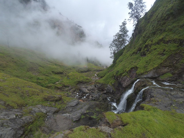
A short detour brought me to a hot-spring where I soaked for almost an hour (sooo good!). Then I laced my shoes again, refilled my water-bottle, took a last look at a nice waterfall and the lake and made my way up the other side of the crater, and into the low hanging clouds that had developed.
On the crater rim visibility was very poor – I could make out the junction to the top of Mt Rinjani itself (3726m), and turned the other way. This “side-trip” would have involved an elevation-gain of more than 1000m on extremely unstable ground, and although the guided tours give you this option I decided against it. There simply wasn’t enough time, and also not enough energy to do it. (To put this into perspective; the tours which do scale the mountain take a minimum of three days for the whole trip.)
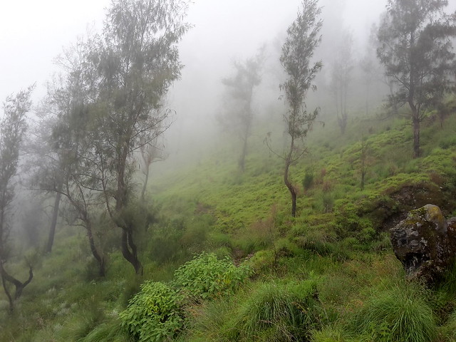
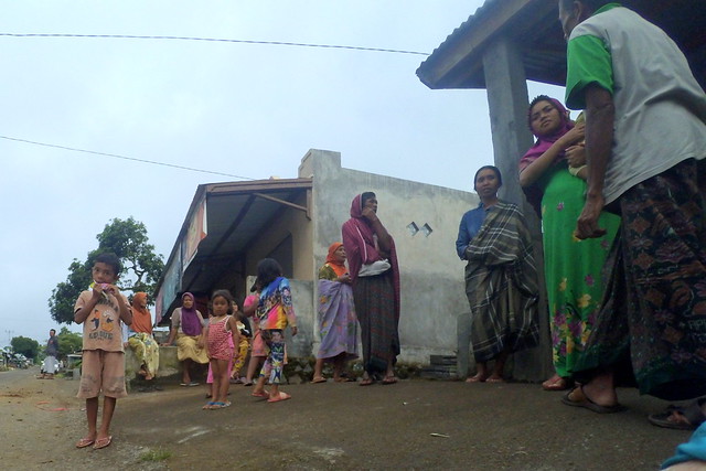
So down I went, through a mix of high grass and dark lush forests, until I reached Sembalun at around 5pm. I was tired, yes, but not exhausted. The great and varying scenery of the trek had left me marveling and elated.
I managed to bargain for a ride back to Senaru; and from there I continued on to Mataram, close to the ferry port to Bali. A very long day – but so rewarding!
Distance hiked: 29km
Elevation-gain: 2800m up + 2300m down
Duration: 13h, whereof 10h moving
(P.S: Come back to this post some time later and you might find a vlog-style video in this spot…)
